Building EVs Flood Resilient
About the toolkit
Protecting charging infrastructure from flood risk is not just about protecting cars from traffic closures, it is also about safeguarding the transportation infrastructure, identifying appropriate safety factors for the design of infrastructure based on flood risks.
About the toolkit
Protecting charging infrastructure from flood risk is not just about protecting cars from traffic closures, it is also about safeguarding the transportation infrastructure, identifying appropriate safety factors for the design of infrastructure based on flood risks.
Salient Features
Flood risk management demands an integrated, data-driven approach to address risks on charging infrastructure.
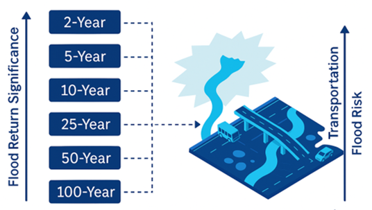
Enables high resolution flood risks on fuel stations across Illinois for multiple return periods.
Introduces comprehensive flood resiliency toolkit using hydrodynamic models with satellite observations & crowdsourced data.
Helps to support flood-resilient “infrastructure planning and emergency response” across Illinois.
Elements of Toolkit

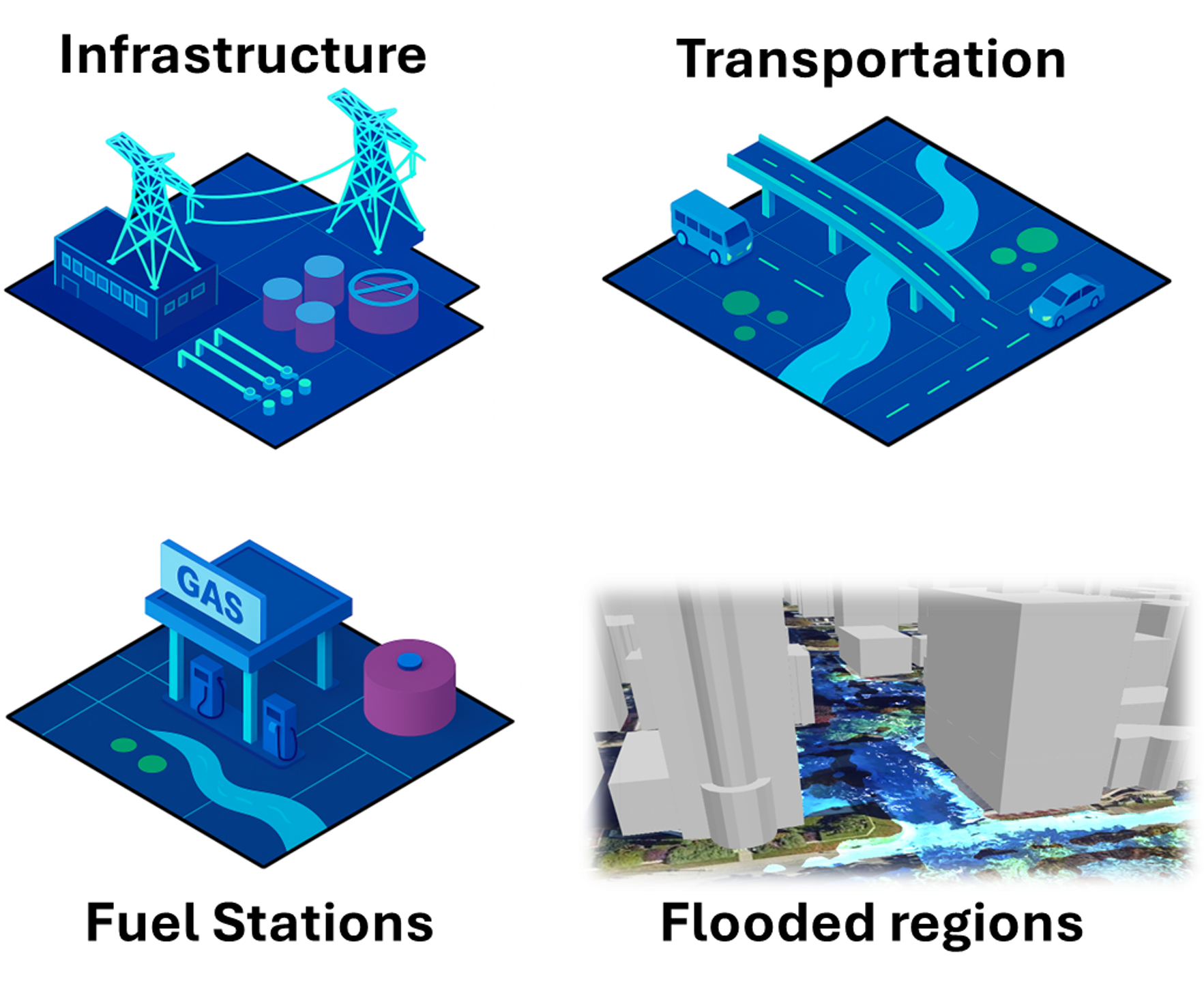
The toolkit employs an integrated, data-driven methodology to identify EV infrastructure susceptible to flooding under current and future climate scenarios. Utilizing hydrological models and satellite-derived flood products, the workflow incorporates climate projections, flood extent mapping, and GIS-based spatial analyses to delineate at-risk zones. Infrastructure components such as energy generation and transmission facilities, road networks, fuel stations, and urban environments are geospatially overlaid with flood-prone regions to assess vulnerability. The pipeline systematically identifies EV charging stations at risk, facilitating proactive climate adaptation planning and resilient infrastructure design in urban systems.

Landing page
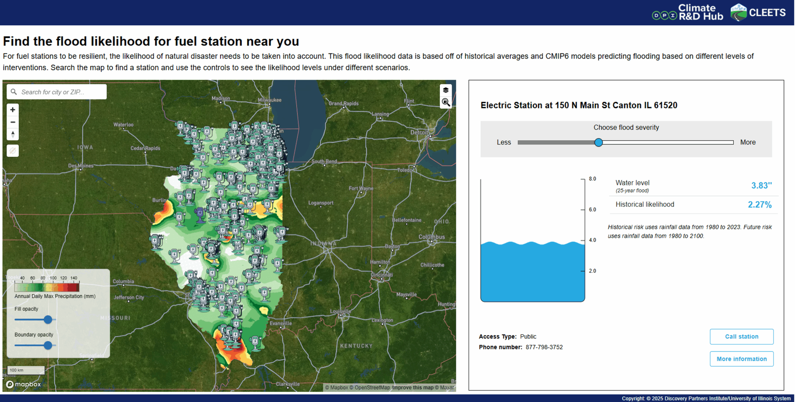
The team has developed a operational dashboard to show how different charging infrastructure accross Illinois are at the risk of flooding. Charging infrastrcuture typically get damaged or unresponsive due to floods or becomes unreachable. With our dashbirad, utilitioes and end-users can identify what modifications that we can make to charging infrastructure to get rid of impacts due to floods.

The Team

Abhinav is currently engaged in the development of flood forecasting systems and sustainable flood mitigation solutions. Abhinav’s work involves the integration of 1D-2D hydrological models with NWP model forecasts. His research expertise includes: Water Resource Engineering, Urban Stormwater Management, Uncertainty and Fuzzy system, Remote Sensing and GIS, Urban Planning and Management, Analytic Hierarchy Processing, Climate Change Adaptation

Driven software engineer with expertise in full-stack development, data science, ML and cloud infrastructure. I specialize in building scalable solutions and optimizing machine learning models to solve real-world problems. With a strong background in handling systems, cloud-based applications and end-to-end deployment pipelines, I am committed to delivering impactful solutions that drive performance and business success.

Carolina is contributing to developing a web-based toolkit for exploring Earth science data and high-resolution climate model outputs on flooding, air quality and heat in the Chicago metropolitan area and broader Illinois region. Her expertise includes: data visualization and visual analytics addressing environmental demands, risk assessments, regional weather modeling, sustainable development, clean transportation.

Ashish is a Climate and Urban Sustainability Lead at Discovery Partners Institute and a Joint Appointment, Argonne National Laboratory. He also holds a Graduate Faculty, Department of Climate, Meteorology & Atmospheric Sciences, UIUC. He also leads large interdisciplinary NASA/NSF projects; developed operational toolkits for heat, air quality, and flooding; expertise in climate models and satellite datasets.
Sign up for our mailing list
You’ll receive the latest updates on CLEETS research and programming.

